Geopaparazzi

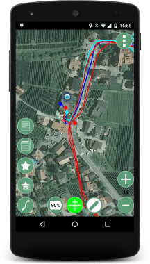
Geopaparazzi is a tool developed to do very fast qualitative engineering/geologic surveys.

The main aim of Geopaparazzi is to have a tool that:

  • fits in any pocket and can be always at hand, when needed
  • gives the possibility to take georeferenced and possibly orientated pictures during a survey, with further possibility to import them into GIS applications like gvSIG
  • is able to easily exploit an internet connection, if available
  • is extremely easy to use and intuitive, providing just few important functionalities

Core features

  • The main features available in Geopaparazzi are:

    • georeferenced notes
    • georeferenced and oriented pictures
    • gps track logging
    • form-based data surveys
    • easy export of collected data
    • a map view for navigation with support for raster tiles and spatialite vector data
01_nexus5

Service Providers

Core contributors

View all service providers